Coastal road

Coastal road

Walk route...

Walk route...
Anti- clock wise from Bournemouth.

Thursday, January 21, 2010

Planning walk progress--a map


A walk map with some approximate dates. The 'best laid plans of mice and men' and it is still difficult to be very accurate, weather (rain), sea fogs and strong prevailing winds can all work to slow down forward progress. I have also been known to get lost on occasions when on strange roads! (Just ask my wife!) Dates at various points have been predicated on 23-27 kms per day--about 6-7 hours daily on the road.
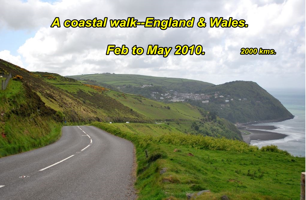
Starting 15th. February on the south coast to benefit from the milder Winter and earlier Spring. Moving north as the seasons advance. Will hit Wales and the dreaded tourist congestion during July/August.
The final stage and likely the most physically challenging, will be the 'West Country", with the continual hilly coastal country side. Interesting dimension: someone calculated that the rise and fall of the walk, up hill and down, was like climbing to the top of Mt. Everest  2 1/2 times from sea level. Back to the start-point in Bournemouth, approx. 1st. October.
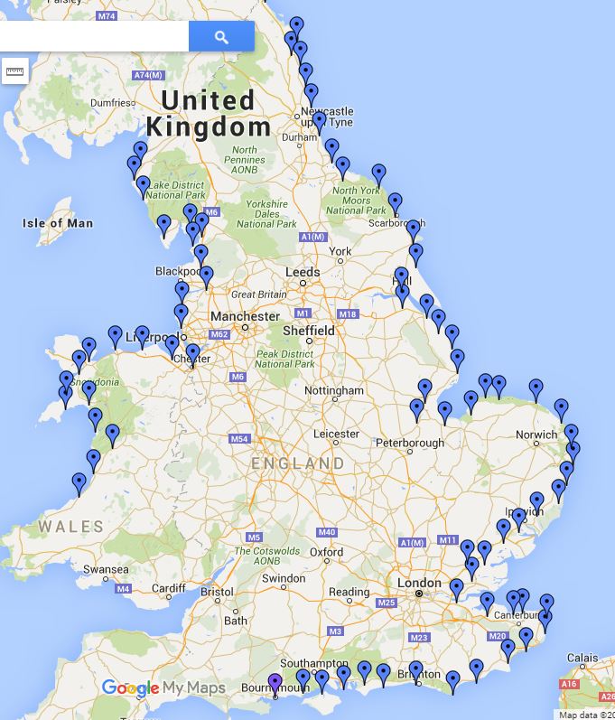
Click on the map to make larger/readable.
         In 2008 Trillium had over 700,000 patient visits. Trillium’s doctors and nurses are ‘Giving 110%’ to patients….will you? Go to www.trilliumhealthcentrefoundation.org and donate now!

Thursday, January 7, 2010

Oiling the wheels and sourcing the maps....

           
Walk preparations are moving into a higher gear and with only about 5 weeks to run till we roll down to the Bournemouth starting line, there is an increasing sense of urgency to complete all the tasks that are associated with an extended absence from home-----driving licence to be renewed, ditto Ontario health card, both of which expire mid-year.
Planning is completed as far as routing is concerned. Thank goodness for Google, although their maps, walker version, are, it is stated, still in beta. I have collected a 2½ inch pile of them with budget hotels, bed & breakfasts, hostels etc. duly located in each town. Figure it is easier to have these plotted and priced in advance, than to wait till I arrive in strange streets with tired limbs and likely soaked in cold rain and be forced to make a weary search. To date, I have been using a 1986 Ordnance Survey map book for motorists and have noted, for example, that the A27 main road, east of Portsmouth has been bodily ‘transported’ about 5 miles to the north and rebuilt as an ‘almost’ freeway---not very hospitable to the hiker. The old road is still there and has been re-numbered. Like to find these things out in advance, as they are only minor inconveniences when driving, but can pose a lot of extra walking for the long distance hiker after miles pounding the concrete. Looks like I shall soon be investing in some up-to-date paper UK maps.
I’m ‘Giving 110%’ to Trillium through my
“4 Million Step Walk” because I can.
Donate Now: www.trilliumhealthcentrefoundation.org